
By Road:
Postcode for Sat Nav: LA2 8EA (this will take you to Clapham Car Park)
- Leeds – A65
- Kendal – M6 J36 / A65
- Preston – M6 J31 / A59 / A682 / A65
- Lancaster – M6 J34 / A683 / B6480
Nearest Petrol Stations to Clapham:
East 6 miles – ASDA Settle Express Petrol, Church Street (B6480), Settle BD24 9JD
West 4 miles – ASDA Ingleton Express Petrol, New Road (A65), Ingleton LA6 3DL
By Rail:
Clapham (North Yorkshire) [CPY]
Trains from Leeds, Skipton or Lancaster.
Station Road, near Clapham, LA2 8ES
The station is just over a mile’s walk from the centre of Clapham.
Managed by Northern Rail.
View National Rail Enquiries website for latest timetables.
By Bus:
581 – From Horton in Ribblesdale, Settle and Ingleton
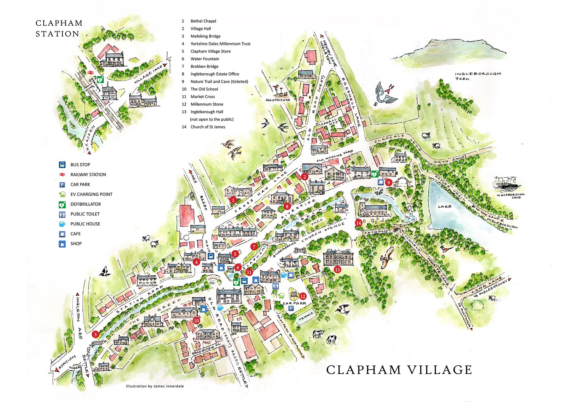
Bus stops in Clapham are situated (also shown on village map at bottom of this page):
Westbound – Old Road, diagonally opposite Clapham Village Store
Eastbound – Old Road, next to the BT phone box in front of the Cave Rescue Organisation on the junction of Old Road and Church Avenue.
View North Yorkshire County Council timetables and journey planner for latest bus routes.
By Air:
Airports – Leeds/Bradford • Manchester • Liverpool • Blackpool
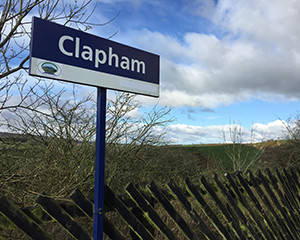
Village Map:
Please park responsibly with consideration for local residents and businesses. If parking on the street please leave enough room for a tractor or a fire engine to get past.
