- Clapham Local Landmarks and Walking Paths Map Leaflet (PDF)
- Ingleborough Estate Nature Trail Walking Routes Leaflet (PDF)
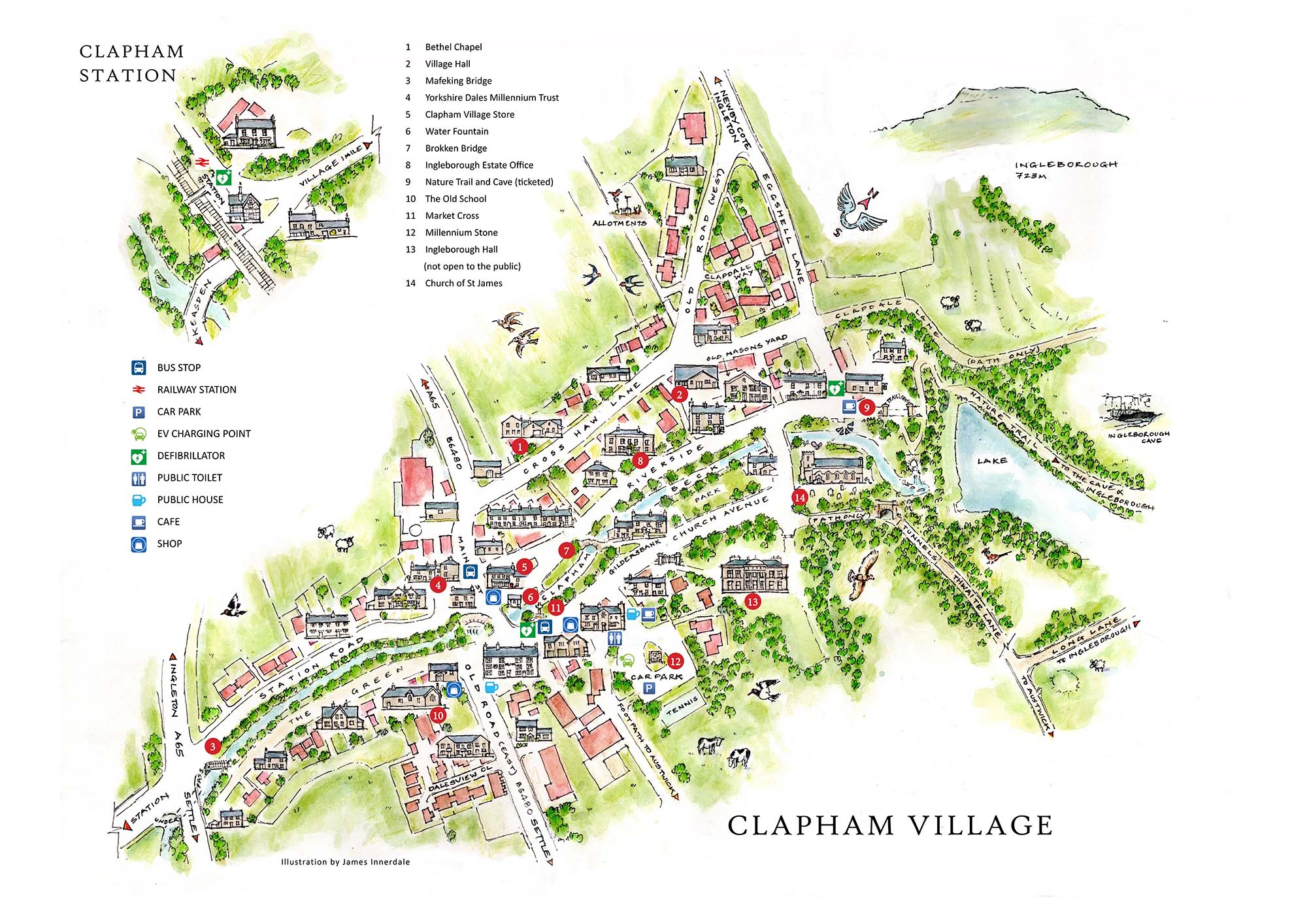
Clapham Village Map
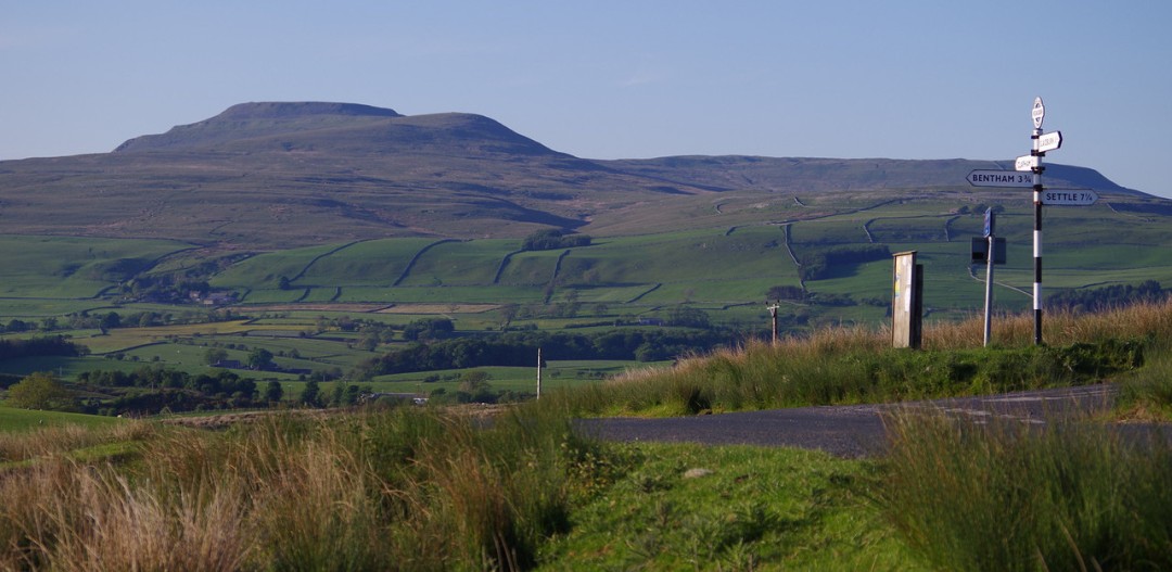
Ingleborough
Standing at 723 metres and one of the famous Yorkshire Three Peaks, together with Whernside and Penyghent. The route via Ingleborough Estate Nature Trail was described by Alfred Wainwright as “the finest of all, a classic”.
Gaping Gill
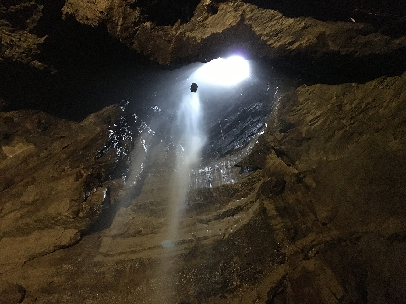 A 322ft (98 metre) deep pothole, featuring the highest unbroken waterfall in England and an underground chamber large enough to hold York Minster. Non cavers can access via two annual winch meets organised by local caving clubs the Bradford Pothole Club (May) and Craven Pothole Club (August).
Ingleborough Estate Nature Trail
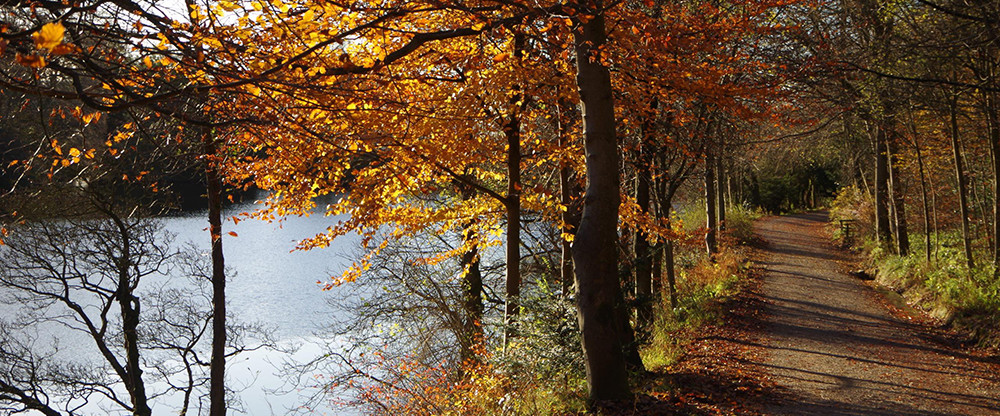
This dog friendly trail is the gateway to some of the U.K’s most stunning limestone scenery. It wends its way through the woodland & past a picturesque lake before emerging at the imposing entrance to Ingleborough Cave. A highlight is a famous collection of rhododendrons brought back by famous plant collector Reginald Farrer. View four different walking routes in the Nature Trail leaflet.
Ingleborough Cave
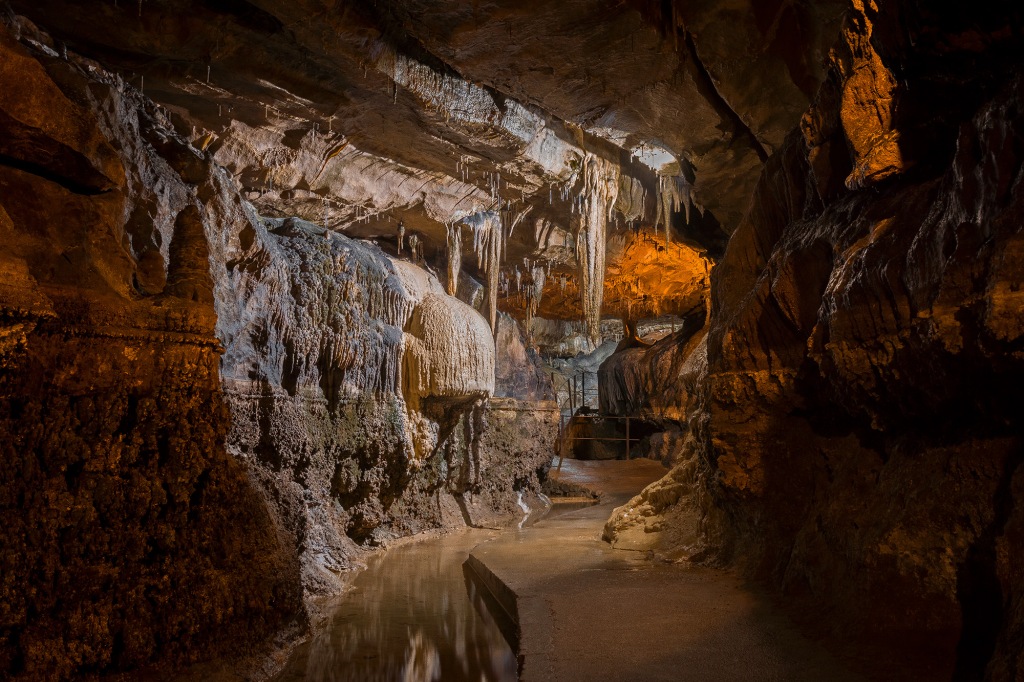
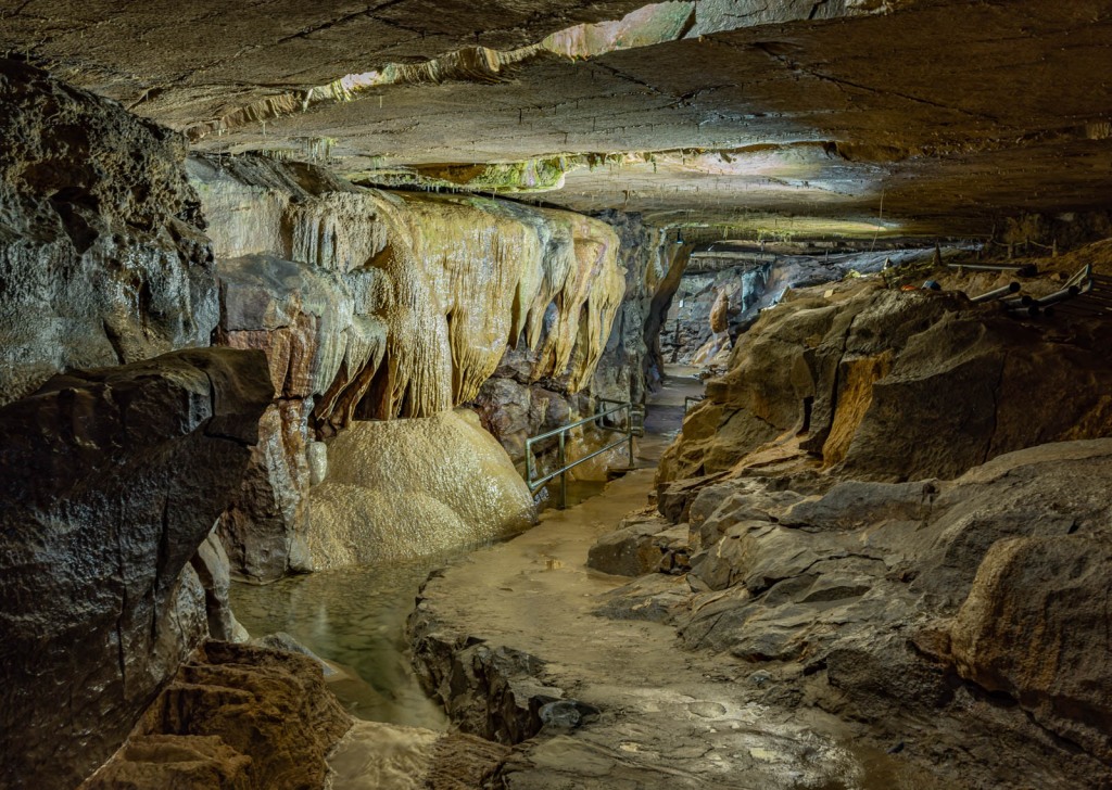
Ingleborough Cave, in the heart of the Yorkshire Dales National Park, was first discovered in 1837 by brave Victorian explorers who drained away a lake and went on to discover 1/2km of previously unexplored passages delving deep beneath Ingleborough mountain, with only candles to guide them! Today, the cave is well lit, and you can follow in the footsteps of those pioneers on an awe-inspiring voyage of discovery!
Norber erratics
One of Britain’s most striking groups of limestone boulders. Strewn across Crummackdale by mesolithic glaciers. Reach via Thwaite Lane from Clapham.
Trow Gill
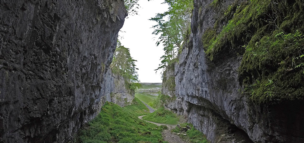
A spectacular ravine. Following the path from Ingleborough Cave, fit and able walkers can clamber over the rocks of Trow Gill to reach Gaping Gill or continue to Ingleborough Summit.
